MapQuest Directions: a clearer way to plan your drive
Every drive begins with a simple question: how do I get there? Whether you are crossing town, visiting family, or planning a weekend away, a clear route makes the journey easier to understand. People searching for MapQuest Directions often want a practical map, a sensible starting point, and instructions they can review before leaving. This independent guide helps you approach that planning process, while the interactive route planner above lets you explore a driving route of your own.
Start with the journey you actually intend to make. A city name can be useful for an overview, but a street address usually gives you a more meaningful destination. Think about the entrance you need, where you will park, and whether anyone else is joining you. Those small details can matter more than shaving a minute off an estimated arrival time. A little preparation gives you space to enjoy the road ahead.
How to get driving directions
Enter your starting address in the first field, then choose the matching place from the search suggestions. Include the city, region, or country when a place name is common. Add your destination in the second field and check its full label before selecting it. You can also use My location as your starting point if your browser supports location access and you choose to allow it. Location accuracy depends on your device and surroundings.
Select Get directions to calculate the drive. The map displays the route, and the sidebar shows its distance, estimated driving time, and individual steps. Zoom in to inspect the roads near either end of the trip, or use the fit control to bring the whole route back into view. Read the destination carefully: a search result for a neighborhood is not necessarily the entrance to the building you want.
Want to explore the planner first? Try the San Francisco to Sausalito example. It fills in two places and requests a real driving route. You can then replace either endpoint with your own address. If a search returns no useful result, simplify the wording, add a postal code, or look for a nearby street. Always select the suggestion that matches your intended location.
Understand the route before you leave
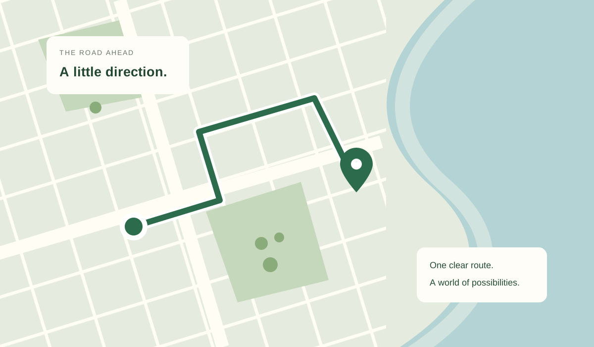
A route line gives you the big picture; the written instructions explain how its pieces connect. Look for major roads, interchanges, and turns near your destination. Familiarize yourself with the last few steps while you are still parked. Busy downtown streets, separate building entrances, and divided roads can make the final approach less obvious than the journey between cities.
Treat the displayed duration as a planning estimate. This planner does not include a live traffic feed, so its time should not be read as a prediction of current congestion. Weather, roadworks, temporary closures, parking, and breaks may change how long your trip takes. Add a reasonable buffer based on the purpose of your journey, particularly when an appointment, departure, or reservation has a fixed start time.
Distance and convenience are different things. A drive with fewer miles may involve more intersections or slower local streets. Review the suggested path for the kind of roads you expect, and use current road information when conditions matter. Follow posted restrictions and signs even when an online map suggests otherwise. Digital maps are useful planning aids, but the road in front of you determines what is possible.
Make room for the stops along the way
A good trip is rarely just a straight line from home to a destination. Use Add a stop to include a pickup, a meeting point, or another address along the way. The planner supports up to five locations in total, including your starting point and final destination. It connects them in the order shown, so arrange your plans before calculating the route.
Stopovers are not automatically optimized for the shortest possible journey. Think about which places belong together geographically, and avoid crossing the same part of town unnecessarily. The reverse control flips the order of your locations when you want to plan the return trip. Remember that the return route can differ because of one-way roads, turn restrictions, or separate highway entrances.
The estimated driving time does not include time spent at your stops. Add your own allowance for lunch, charging, refueling, sightseeing, or collecting a passenger. For a longer trip, a realistic schedule is usually more useful than a tightly packed one. Leave enough flexibility to pause without making the rest of the day feel rushed.
A small tip for a smoother tripReview your final destination and parking entrance before setting off.
Check traffic and road conditions separately
A static route and a live traffic report answer different questions. The route shows a way to reach your destination using the available road network. A traffic report describes changing conditions along that network. This website offers driving route planning, but it does not show live congestion, active incidents, or traffic-aware arrival times. Check a current traffic source before a time-sensitive drive.
For an unfamiliar area, look at notices from the relevant road authority as well. Temporary restrictions, seasonal closures, and event access arrangements can affect an otherwise ordinary route. When weather is changing, leave room to delay or adjust your plans. Review updates before moving, and ask a passenger to help with navigation when available. Avoid interacting with the planner while driving.
Turn a route into a better road trip
Once the essentials are settled, consider what would make the journey more enjoyable. A convenient rest stop, a scenic break, or an easy meeting place can improve the day without complicating the route. Add those addresses deliberately and review the resulting distance. A place that looks close on the map may require a substantial detour because of water, mountains, or limited road connections.
Check practical details directly with the places you plan to visit. Opening hours, entrance locations, parking arrangements, and charging availability can change. Save the addresses you need somewhere accessible before departure. This web planner requires an internet connection for map tiles, place searches, and new routes; it does not provide downloadable offline navigation. If your journey includes poor coverage, prepare another suitable navigation option in advance.
For shared trips, agree on the exact meeting point instead of sending only a broad place name. A station, shopping center, or park may have several entrances. Include a street address and a recognizable landmark where appropriate. Good directions are as much about a clear destination as they are about the road used to reach it.
A quick check before departure
Before closing your laptop or putting away your phone, take a final look at the starting point, stop order, and destination. Check that similarly named places have not slipped into your itinerary. If you are traveling across a border, confirm that your chosen crossing is available to your vehicle and journey. The route calculation alone does not verify entry requirements or vehicle restrictions.
Keep your plans simple enough to explain to a passenger. Know your first main road, your next planned break, and the address where the drive ends. If something changes along the way, pull over somewhere appropriate before searching again. A useful route should support a calm journey from beginning to end. Clear expectations make room for a better drive.
About this map and the MapQuest name
This is an independent website, not the official MapQuest website, and it is not affiliated with or endorsed by MapQuest. The phrase MapQuest Directions identifies the subject of this guide. The planner on this page uses OpenStreetMap map data, Photon place search, and OSRM driving routes. These services provide a practical way to explore road connections without representing this tool as a MapQuest product.
Map coverage and address detail vary by location. Newly built streets, private roads, and specific entrances may be missing or incomplete. Public mapping services can also be temporarily unavailable. If a place cannot be found or a route cannot be calculated, check the address and try a nearby accessible road. A missing route does not necessarily mean that travel between the two places is impossible.
Before you hit the road
Is this the official MapQuest route planner?
No. This is an independent driving route planner and informational guide. For official MapQuest products, account features, or support, visit the MapQuest website. This page does not use the MapQuest routing API.
Can I use this planner on my phone?
Yes. The map and directions form adapt to smaller screens. Enter your places, select matching suggestions, and calculate the route before departure. This is a planning tool, not a voice-guided navigation app.
Why might my estimated travel time change?
A different starting point, stop order, or destination can change the calculated route and its estimate. Actual travel also depends on conditions the planner does not measure, including traffic, weather, and delays at your stops.
Can I plan walking or cycling directions?
This version calculates driving routes only. Do not follow its suggestions as walking or cycling directions: road access and safe route choices can differ. Use a planner designed for your intended travel mode.
Looking for the official service? Visit MapQuest .